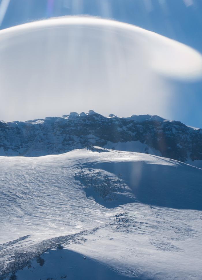
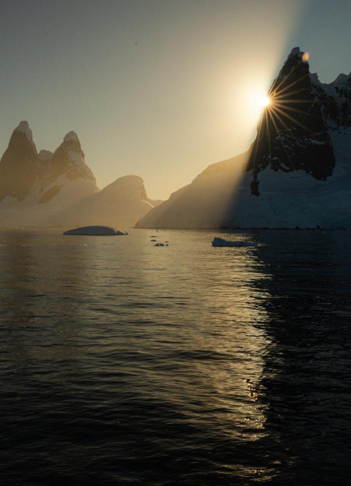
Citizen Science

Citizen science is the collection of data by polar travellers and guides for use in research led by professional scientists. As part of the enriching educational experiences offered during Antarctic expeditions, IAATO Member operators can provide opportunities for guests to contribute to an array of citizen science projects.
By participating in globally significant research in a fun, hands-on learning environment, visitors can deepen their understanding of, and appreciation for, Antarctica and its unique ecosystem. This level of engagement inspires visitors to become Antarctic ambassadors, equipping them with the knowledge and passion to advocate for the ongoing preservation of the continent and the surrounding ocean and to act for Antarctica from home.
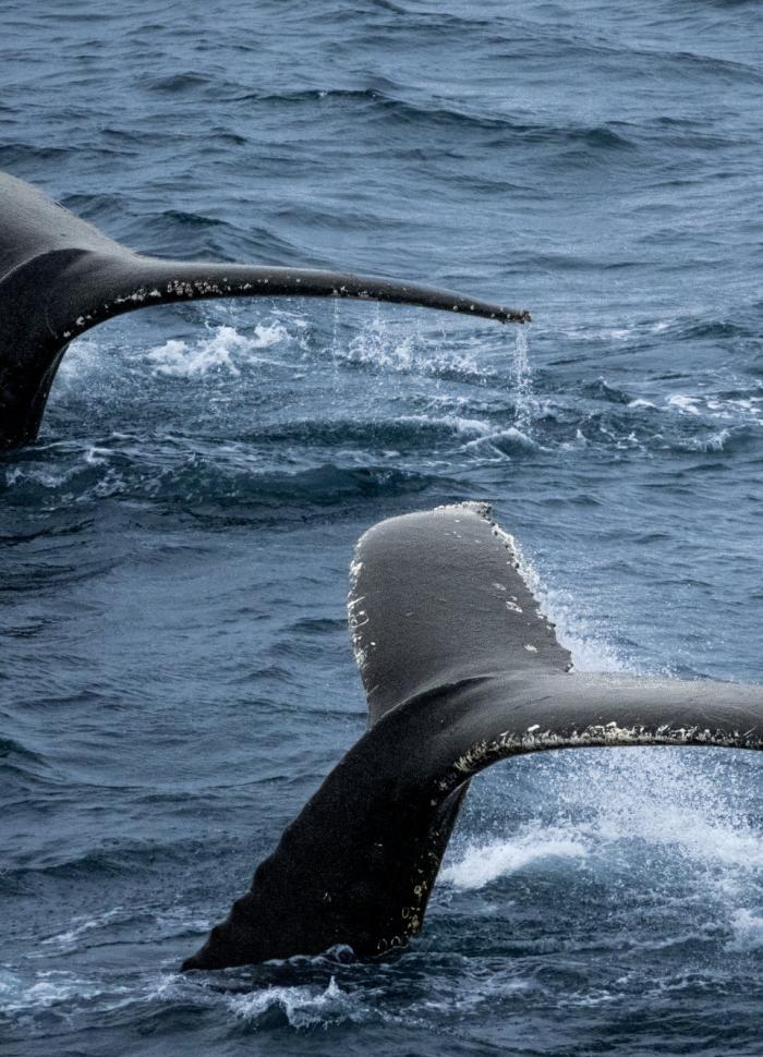
Happywhale
Happywhale encourages citizen scientists to upload their images of whale dorsal fins and flukes to its website. These photos are then compared to a global database to identify the individual whale. Contributors are notified of the results and can follow ‘their’ whale on its travels via the website.
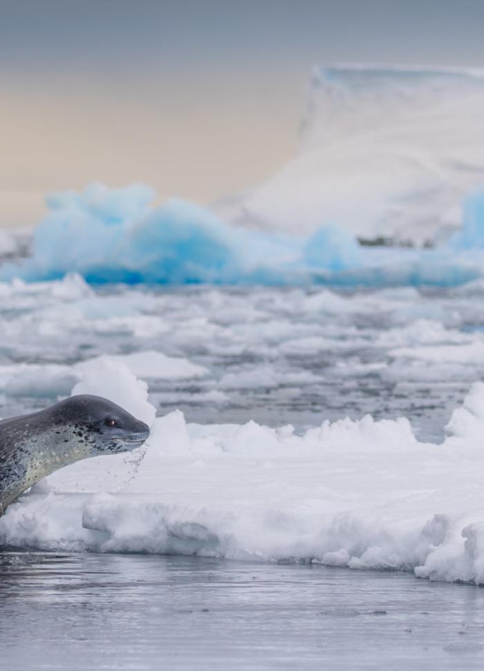
Happywhale collaborates with several partner projects studying whales and other marine mammals, including leopard seals and Weddell seals. Over the years, data collected by scientists, guides and visitors have helped identify and track marine mammals in Antarctica and across the globe, expanding our knowledge of their behaviour, populations and distribution.
Such research informs conservation management decisions. In 2019, IAATO took a bold step to reduce the risk of ship strikes by establishing vessel slow-down areas covering more than 20,000 km² in areas of dense whale activity in the Antarctic Peninsula region.
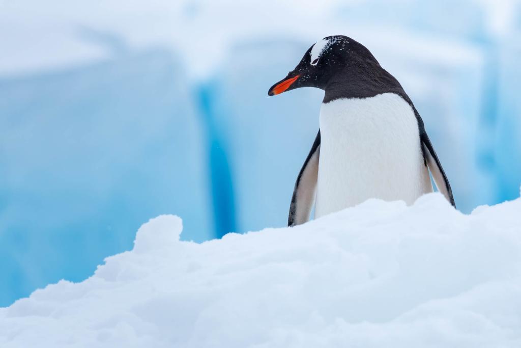
Penguin Watch
Scientists can learn a lot about the health of Antarctica’s ecosystem by studying penguin populations. Penguin Watch is an ongoing project to monitor the annual breeding success and reproductive behaviours of penguins. With 100 live cameras placed throughout the region, citizen scientists can contribute to penguin conservation from anywhere in the world.
NASA’s GLOBE Clouds
GLOBE Clouds is a citizen science app that allows volunteers to take cloud observations, helping scientists understand how clouds will respond to a changing climate. Clouds affect how much sunlight is absorbed by the Earth and how much heat escapes back into space. When a GLOBE Clouds observation is taken within 15 minutes of a satellite overpass, the data are matched to NASA satellite data for further analysis.
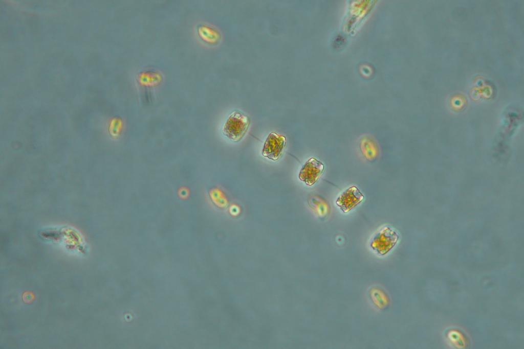
FjordPhyto
Phytoplankton is a keystone species - at the base of the food chain, supporting all marine life. Scientists from the project FjordPhyto at Scripps Institute of Oceanography rely on samples of phytoplankton collected by Antarctic travellers. Samples collected during the austral summer, once analysed, help them understand how melted glacial water affects phytoplankton populations in fjords along the Antarctic Peninsula.
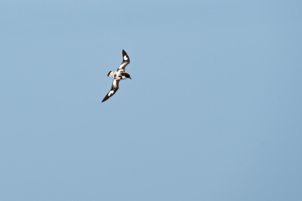
Seabird Surveys
Seabirds are an important indicator species, and tracking their abundance and distribution is necessary for understanding trends in the marine ecosystem. Conducting seabird surveys and submitting the data to eBird, from the Cornell Lab of Ornithology, is one way to contribute to a global dataset of bird observations that contributes to a greater understanding of Southern Ocean seabirds.
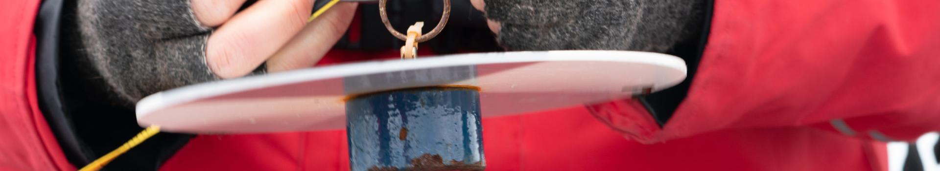
Secchi Disc
The distribution, composition and abundance of phytoplankton are altering as oceans are affected by climate change. By lowering a Secchi Disk vertically into the sea from a stationary vessel, citizen scientists can record the ‘Secchi Depth’. This is the depth at which the disk disappears from sight. The Secchi Depth measures the clarity of seawater, which can be used to estimate the amount of phytoplankton at the sea surface, a key indicator of the health of the Antarctic food web.
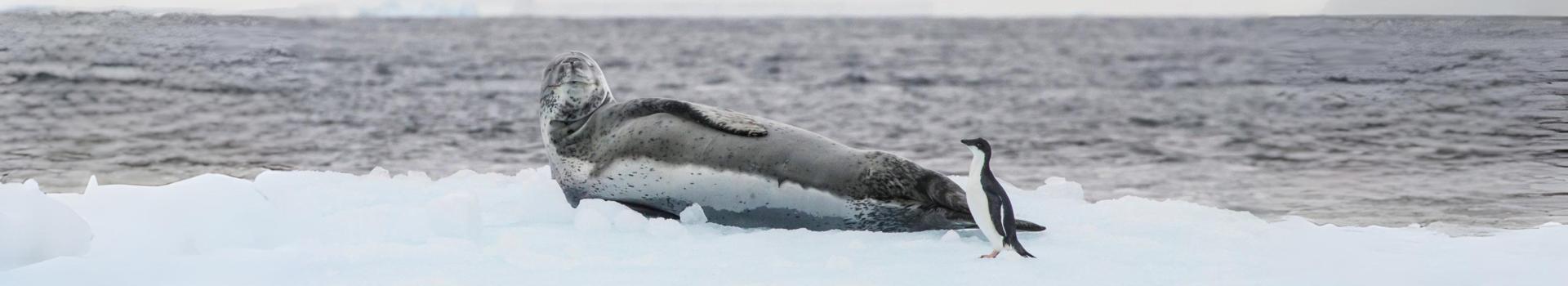
PolarTag
Scientists tag animals to monitor them for research and conservation purposes. PolarTag collects photos of animal tag sightings from polar visitors and submits these data to the researchers who are studying those tagged animals, helping scientists monitor the animals’ migration, survival, and social dynamics. These projects include tagged Snowy Sheathbills, Skuas, Giant Petrels, Weddell Seals, and more.